TerraQuest News
- Apr 2023
Answering your questions about the location plan feature
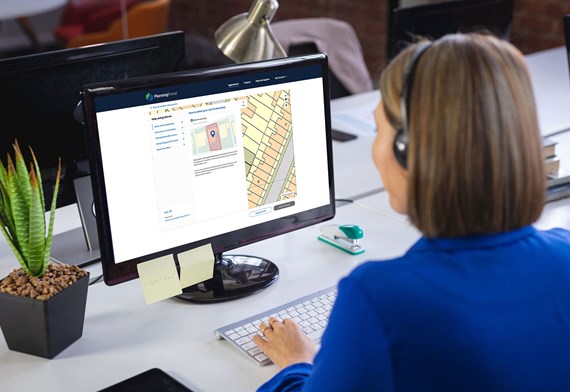
There is not long to go, and we are busy with the final preparations to launch our latest enhancement to the Planning Portal, the location plan feature. You will be able to use the new tool from the 2 May, our service charge will also increase at this time.
To launch the feature, the Planning Portal will be unavailable between
18:00 – 00:00 on 27 April, and again from 05:00 – 08:00 on 2 May.
As with anything new, we anticipate questions about the location plan feature; why it is needed and certain scenarios that may apply to you. To prepare for this we have used feedback from our customers to publish a collection of questions and answers that can be a first port of call for anyone with a query.
We hope this will help our customers and us, to experience a smooth launch of the location plan feature and answer questions quickly.
A recap of the benefits
The location plan feature will:
- Be simple to use – allowing you to draw your site boundary or upload an existing boundary file
- Reduce the number of invalid applications by creating a compliant plan
- Make the process more efficient, by streamlining the creation of a location plan, standardising the process, and removing the back and forth caused by invalidation
- Move forward digital planning reform by sending the boundary as data, as well as a PDF, to the Local Authority.
Over the past few months, we have published and shared a lot of information about the introduction of the location plan feature, you can find signposts to all our articles and videos on our regularly updated page on the Planning Portal.
Find out more on the Planning Portal
If you would like to get in touch please email communications@planningportal.co.uk


