


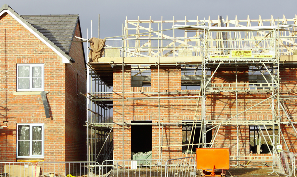
Land Development
Lorem ipsum dolor sit amet, consectetur adipiscing elit.

We create market-leading software solutions and tailored support services,
guided by specialist insights.

Expert services, innovative data platforms, and vital technology.
50+ years experience
Software development house
Founders of land referencing
Unique data and technology
Making the complicated simple
Through professional services, unique data platforms, and essential technology.
People-first
At TerraQuest, we value strong customer relationships and deliver high-quality tailored support, data, and technology services through our skilled team of over 200 employees.
Transformative solutions
Our cutting-edge solutions help you achieve your goals faster and more efficiently, saving time and resources. We have over five decades of strategic planning solutions, including land referencing and identifying developable sites.
Powering planning
We're proud to power Planning Portal, the planning application service for England, Wales, and Northern Ireland, that has revolutionised planning for public and private sectors.


Leveraging our expertise in local authorities' challenges, we offer tailored, innovative solutions that mitigate risks, save time, and improve accuracy.

Streamlining the process of finding, identifying and acquiring land for both public and private sectors.

Unlocking opportunities with real-time data and the latest technology to help developers make strategic decisions.

Assisting architects in achieving their clients' objectives through cutting-edge software and customised services.

Supporting housing associations with leading software and tailored services to achieve their goals.


Explore our recent projects to find out more about what we do.


For planning application
support, consultation
services, and data solutions.

Industry leaders in
supporting development
and regeneration schemes.

Innovators in transformative
software.

Unrivalled platforms for
insightful decision-making.
Insight into the latest advances in technology and the built environment - encompassing trending topics, articles, guides and more.


