
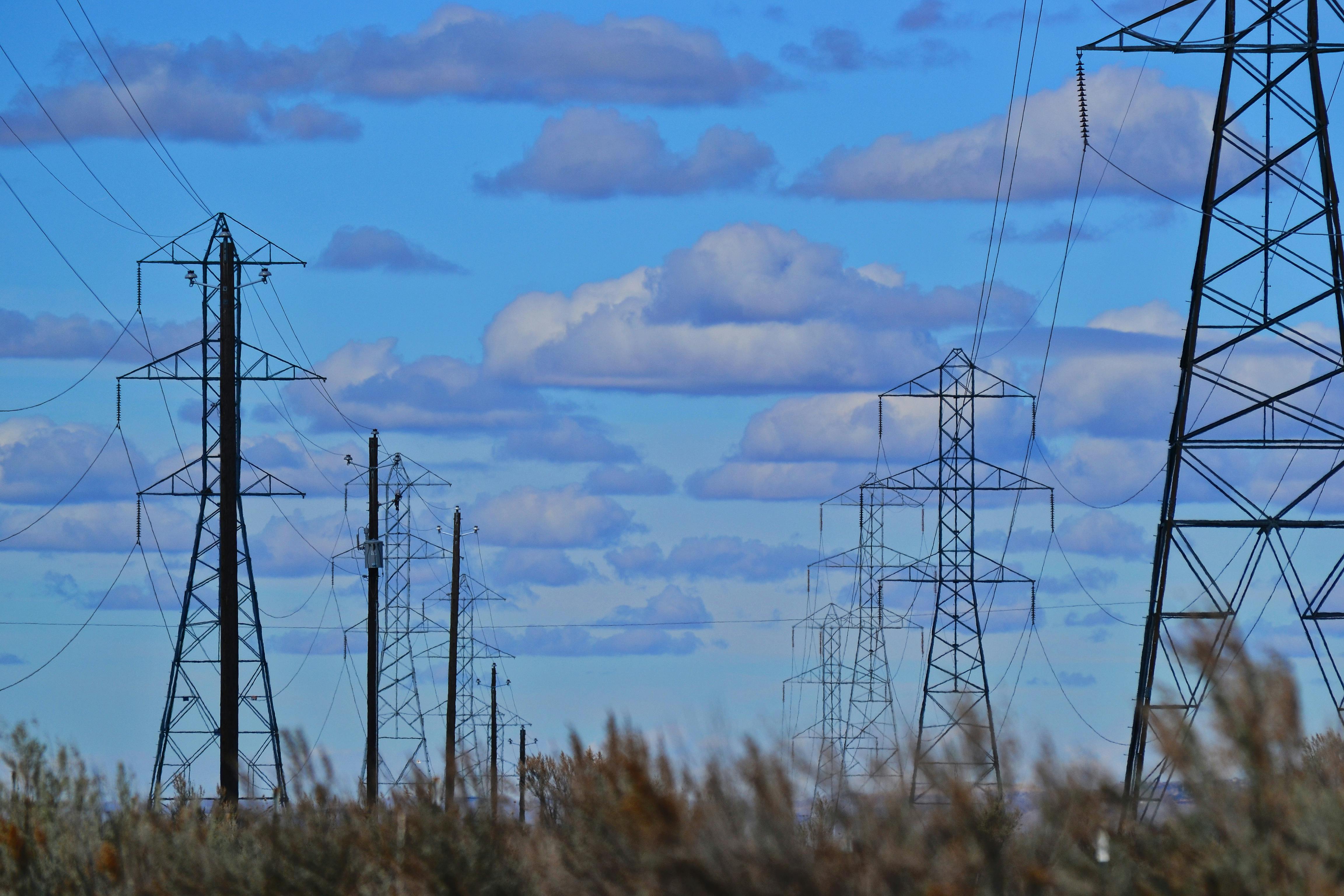
Land ownership and grid connections: Insights from our recent webinar


As the UK accelerates its transition to net zero, the scale and speed of renewable infrastructure development have never been more critical. In a recent Waterfront webinar, Peter King TerraQuest’s Land Referencing Consultant joined Timothy Burr of Assystem to share practical expert insight on one of the most crucial, and often underestimated, elements of infrastructure delivery: land ownership and land referencing.
With over 50 industry professionals in attendance, the session highlighted the challenges of securing new grid connections, the value of early engagement, and how accurate land referencing is key to timely project delivery.
Industry context: A race against time
No two low-carbon infrastructure schemes are the same. But across sectors, the industry is seeing similar pinch points. From energy to education, and from flood defences to transport, the pressure to deliver large-scale, complex infrastructure is growing rapidly.
Recent reforms by NESO and the UK’s 10-year infrastructure strategy signal a long-term commitment to investment. However, the capacity gap between current infrastructure and what’s required remains wide. This puts early-stage processes like land referencing, route optioneering, and stakeholder engagement under greater scrutiny and pressure.
At the same time, public consultation requirements are shifting, with changes to the NSIP (Nationally Significant Infrastructure Projects) process removing some consultation stages. While this may shorten timelines, it may also raise risks, especially when public sentiment around development remains delicate.
The role of land ownership:
Peter King drew on TerraQuest’s decades of experience in land referencing, working across major NSIPs, local infrastructure schemes, and highly regulated consent environments. His insights underscored that:
Every successful project starts with a clear understanding of the land.
Knowing who owns what, and whether they’re willing to engage, can be the difference between a smooth delivery and costly legal or planning delays. Yet land ownership data is still inconsistent. That’s why we recommend combining digital mapping tools, data sources, on-the-ground insight, and proactive engagement to identify opportunities and manage risks.
In many cases, landowners hold undocumented but vital knowledge. Meeting them early, understanding their position, and maintaining ongoing relationships helps reduce opposition and streamline approvals.
Why early engagement matters
One of the strongest takeaways from the webinar was the value of starting early, particularly when it comes to land ownership and stakeholder management. Here’s why:
- Legal and planning timelines are becoming tighter
- Community sentiment is fragile, especially in areas with multiple ongoing projects
- Consent-granting bodies expect early dialogue, not last-minute involvement
- Landowners respond better to proactive engagement, not reactive requests
A few project progression steps we discussed included:
- Landowner discussions
- Feasibility studies
- Public consultation
- Consenting preparation
Community, consent & the planning landscape
A constant theme throughout the webinar was the importance of managing community sentiment and local engagement. With consultation requirements evolving and communities increasingly affected by multiple projects, there’s growing concern around “consultation fatigue.”
Projects that succeed are those that maintain open, transparent relationships - not just with communities, but with consent-granting bodies, local authorities, and regulators.
The takeaway? Land ownership is always about more than parcels and plots - it’s about places where people want to live. And keeping them informed and involved builds inclusive communities which has the right infrastructure that the community needs.
Planning Portal have recently partnered with YemeTech who compile data sources, including ours, to generate ‘community needs reports’ providing deep-data insights to help improve social equity, inclusion and economic uplift of places. It’s a fantastic first step of analysis to understand what’s improving, what’s missing, and where the biggest development potential lies to ensure the community is at the heart of the project’s objectives.
Digital tools and data: a single source of truth
Digital assessment is now central to project viability. Our teams use GIS-based tools to create a ‘single source of truth’, capturing and visualising:
- Environmental constraints (watercourses, protected species, flood zones)
- Infrastructure overlays
- Title and deed information
- Cumulative scheme impacts
This data underpins route engineering, feasibility, and stakeholder consultation, and ensures developers, planners, and engineers are working from consistent, current information.
It also allows for clear, visual communication, essential when engaging in consultation. Being able to show a homeowner how a scheme may affect their property builds credibility and improves trust.
Route engineering: Planning for flexibility
Route engineering was another key focus of the webinar. The presenters explained early decision-making through a phased, adaptive approach that includes:
- Establishing a wide route corridor early on to retain flexibility
- Identifying key constraints and mitigation options using digital overlays
- Running route optioneering against core principles (e.g., capacity, impact, cost)
- Using visual reporting tailored to clients, boards, and communities
This allows clients to refine their approach before costs escalate and improves overall confidence in the scheme.
Key takeaways:
Delivering renewable energy infrastructure, especially new grid connections, demands land intelligence to be handled in the right as it can make the difference between a smooth consenting process and a project bottleneck. Whether you're delivering a major NSIP or a localised renewable scheme, the fundamentals remain the same:
Start early – The earlier you begin land referencing and feasibility, the more flexibility and certainty you build into your programme.
Engage the right people, in the right way – Landowners, consent bodies, and communities must be brought into the conversation before issues arise, not after.
Use accurate, consistent data – A single source of truth avoids rework and enables aligned decision-making across partners and contractors.
Plan for change – Route optioneering should include space for environmental, technical, and social constraints - especially as policy and public perception continue to evolve.
Think long-term – A successful connection today is only part of the story. Ongoing land relationships support operation, expansion, and community goodwill for years to come.
As the UK accelerates toward net zero, projects that take land referencing and early engagement seriously will be best placed to deliver at pace and with confidence.
To talk about anything covered in the webinar in more detail, reach out to Peter King

